Located in Casco, Mayberry Hill Preserve a 160 acre property composed of of mixed woodlands, meadows, and streams. A one-mile trail meanders through the preserve and can be enjoyed by visitors and local residents for hiking and educational opportunities.
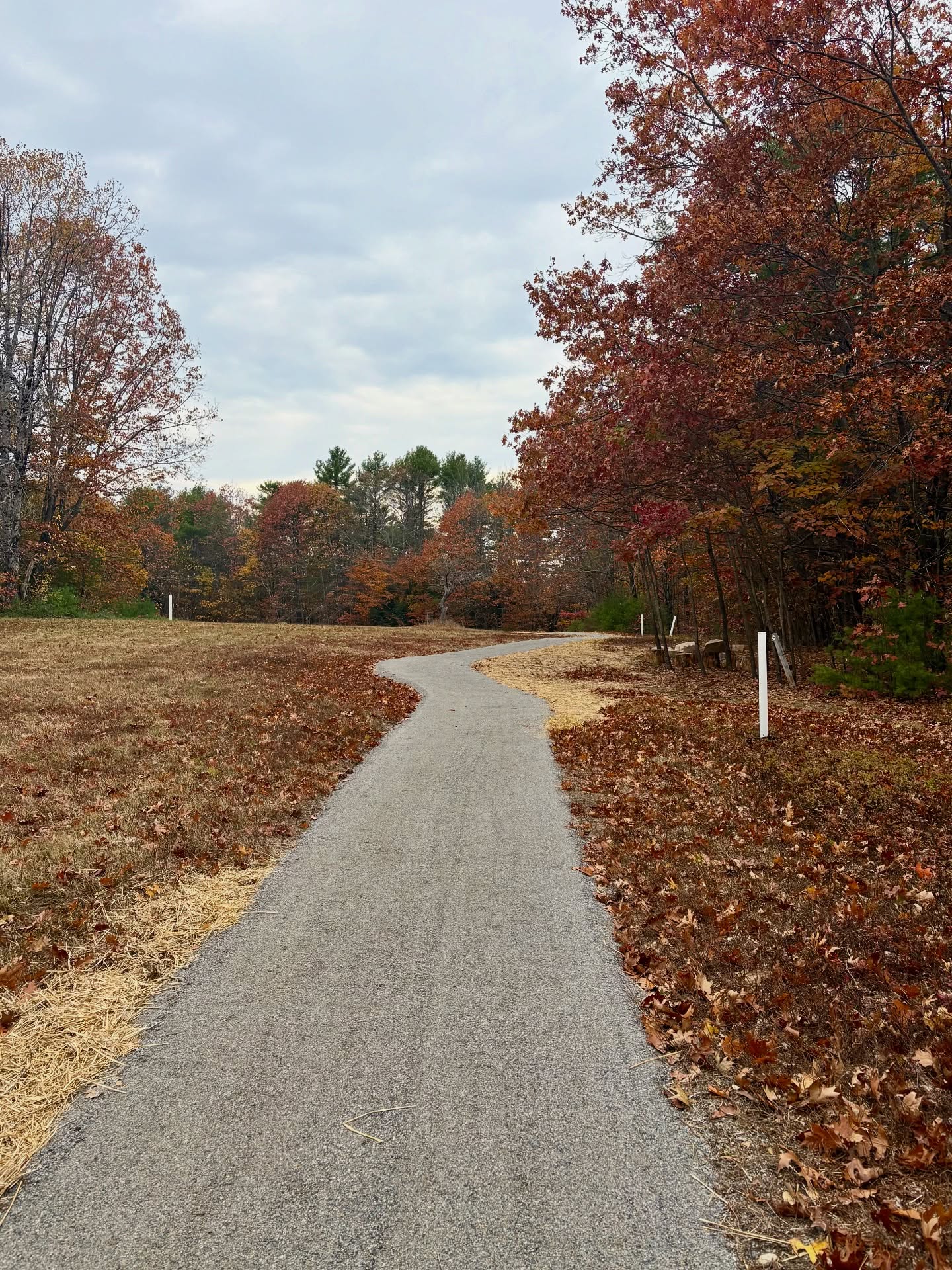
The longer Loop Trail has a dirt surface with rocks and roots, while the Field Trail was upgraded after a major fundraising effort in 2025 to a universal access standard - low grades, 6 feet wide, with a stone dust surface and benches. The Field Trail is suitable for some wheeled mobility devices.
The trails at Mayberry Hill are great for kids! All hiking trails are marked with metal trail markers, wooden directional signs, and are maintained by LELT staff and a dedicated group of local stewardship volunteers.
Other information:- There is an off-street parking area suitable for approximately 8-10 cars. The parking area is plowed for winter use and the trailhead has information kiosks with maps and use guidelines.
- There are no 'you are here' signs so please take a photo of the map at the kiosk before you head on your hike.
- Dogs are welcome. They must be on a leash or under strict voice command. Please pick up and carry out all dog waste.
- There are no trash cans at the Preserve.
- From May-October there is a Portable Restroom available in the parking area.
- In the summer and fall, a StoryWalk is set up in collaboration with Casco Public Library
- Hunting is allowed on the property, please wear blaze orange in-season. Extra orange vests are provided at the kiosk during peak hunting season in the fall.
Access to this land and trail network is free. If you would like to support the stewardship of Mayberry Hill Preserve, please consider a
donation to Loon Echo Land Trust.
Mayberry Hill Preserve is within the traditional and unceded territory of the Abenaki, a member tribe of the
Wabanaki Confederacy. The Abenaki First Nations of Odanak and Wôlinak maintain reservations along the St. Francis and St. Lawrence Rivers in the Canadian province of Quebec, where they sought refuge following colonial warfare in the Saco, Presumpscot, and Androscoggin River watersheds during the 17th and 18th centuries.
In 1990, John and Nancy Gillis donated this land, making it Loon Echo’s first preserve. The preserve has been dedicated to remain as undeveloped open space to be used for scientific and educational uses. Most of the preserve property is former agricultural land. The land was left to naturally revert to woodland throughout the last century. Rock walls are prominent throughout the property as well as portions of granite outcrops that were cut and used for building foundations.
In 2023, LELT conducted a timber harvest on the property to address white pine trees affected with needlecast disease and constructed an off street parking area following the harvest.
Universal AccessIn 2025, LELT upgraded the Field Trail at Mayberry Hill Preserve to a universal access standard after a major fundraising effort. Leadership funding was made possible through Maine's
Recreational Trail Program, AARP, Athletic Brewing, and private donors. The trail design is similar to those LELT has constructed at Pondicherry Park and Peabody-Fitch Woods in Bridgton: six feet wide with a stone dust surface, gentle slopes, and a little under a half-mile long.
Learn more and donate here.